Transystem 747 A+ User Manual
Page 25
Advertising
25
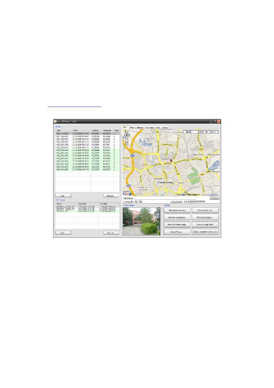
Appendix B. locr GPS Photo
With 747 A
+
and locr GPS Photo software, users are allowed to import
geotagging adds information to photos. The position (latitude/ longitude)
then be written into the EXIF header for the further application. Also, locr
GPS Photo can integrated travel log and digital photos by date/ time to
show photos on the map directly.
Please find the installation file for Windows XP/ Vista in CD tool, or go
to
http://www.locr.com
for further information.
Advertising