Gps satellite display information, Gps accuracy, Nutrient tracker mapping capability – Digi-Star NT 460 User Manual
Page 24
Transfer Data
20
NT 460 User’s Manual
D3840-US Rev A
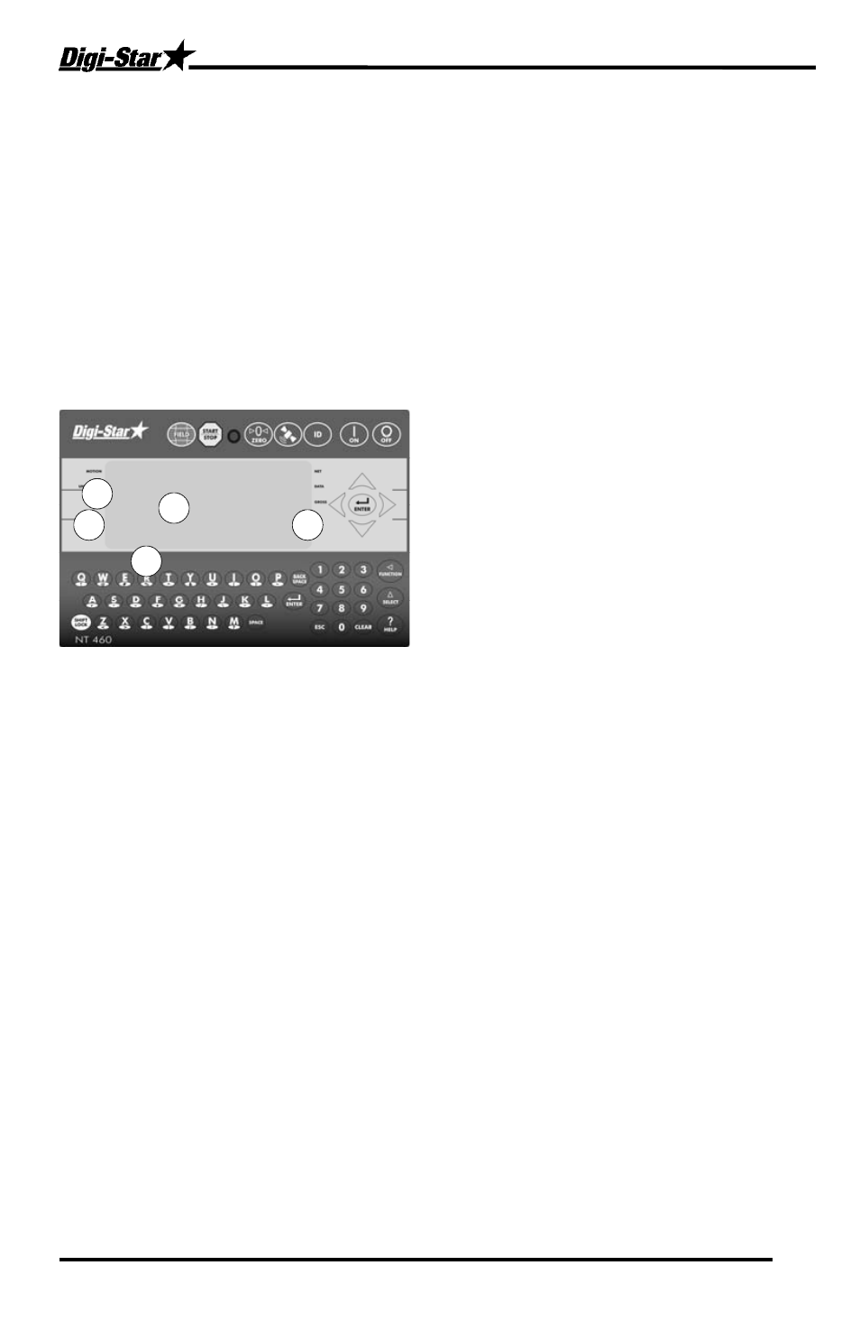
GPS Satellite Display Information
When the GPS module detects a satellite, the “SAT” tag shows either
NO
GPS
(No Satellites Detected),
GPS-I5
(standard 15 meter accuracy) or
DGPS-
3
(Differential Global Positioning System with 3 meter accuracy). Latitude,
Longitude, Compass Direction, Miles per Hour and Universal Coordinated
Time (UTC) are also displayed. UTC always updates when GPS is
connected. The previous locations latitude and longitude will display until
satellites are found again.
The six-digit weigh screen normally displays the Gross weight of the
spreader. The 3-line display will show the following information.
1. LA = Latitude; LO = Longitude
2. NW = Compass direction
3. MPH (or KMH) = Miles
4. SAT fix = NO GPS, GPS-15, or
DGPS-3
5. UTC = Coordinated Universal
Time. This also identifies the
GPS is transmitting data.
GPS Accuracy
Differential Correction GPS (DGPS), such as the Wide Area Augmentation
System (WAAS), covers the USA and provides accuracy from 1 to 3
meters. Most developed countries have some type of DGPS. Standard
GPS is available globally, and is accurate to 15 meters (49.2 feet).
Nutrient Tracker Mapping Capability
Nutrient Tracker uses GPS and weight information collected from the NT
460 and creates reports that overlay delivery areas on satellite images for
nutrient management and record keeping. Nutrient Tracker can also export
standard “CSV” and “shape” files for use in other mapping programs.
Note: Mapping requires an internet connection.
LA: LO:
NW MPH: SAT: NO GPS
UTC: : :
1
2
3
5
4