Thuraya XT-DUAL User Manual
Page 46
41
03 Using the menu
01
02
03
04
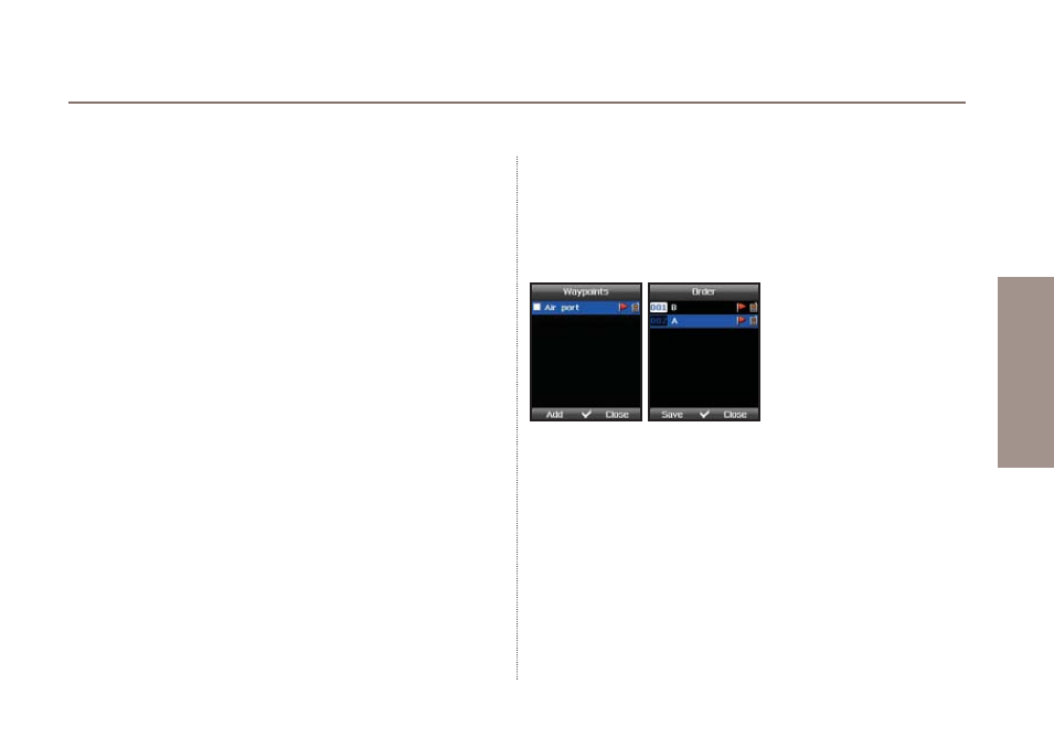
How to use waypoints:
Press
Option
>
New
if you already know the coordinates of a
specific place. This will allow you to enter latitude and longitude
and save these data as a waypoint.
If you have already waypoints saved scroll to the desired
waypoint and press
Option
>
Start navigation
. You will see a
compass showing you the current direction to the selected
waypoint. Please note that you need to move in order that the
GPS signal can determine your direction. Press the left or right
navigation keys to toggle between the compass view and the
data view. The data view will give you information about distance
to the selected waypoint, direction, altitude and current speed.
Use
Option
>
Relative position
to compare the position data of
either two waypoints or one waypoint with your current position.
If you want to compare two waypoints scroll to the first one and
press Option > Select/Unselect > Select and do the same for the
second waypoint. Afterwards use
Option
>
Relative position
to
start comparing the relative position and to get distance between
the two selected waypoints, direction, altitude and UTC info.
Select only one waypoint if you would like to compare your
current position with this waypoint.
To transmit the selected waypoint via SMS or Bluetooth or to a
connected PC or laptop use
Option
>
Send
>
SMS
/
Bluetooth
/
Connect to PC
.
You can also Rename, Search and Delete your waypoints with
the corresponding command.