Ò³ãæ 9 – Onwa Marine Electronics KP-823MKII User Manual
Page 9
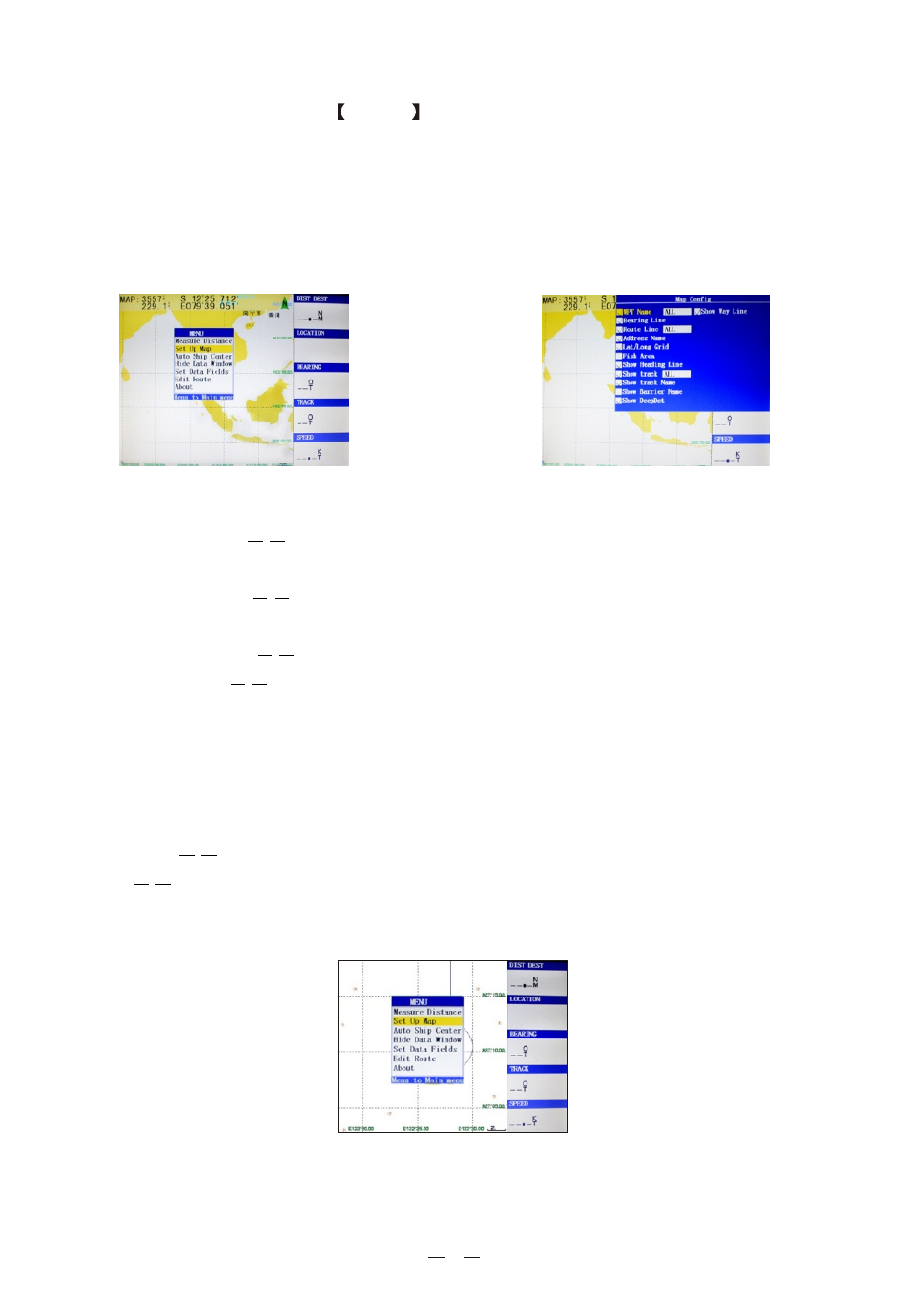
(1) Plotter screen : Pressing
MENU
key displays the following menu,
see
Figure 4), press [ENT] to enter sub-menu(see Figure 5).
Measure Distance ¯¯Measure the distance from own ship to the target.
Set Up Map ¯¯Hide or display the waypoint name, the direction, the route,
the place name, grid lines, fishing lines, the first flight line, the dynamic track,
history of the track, the name of obstacles, water depth, etc.. Figure 5
Show Ship Center
The position of the vessel does not move during the
sailing, keep it centered and move the charts.
Auto Ship Center
When the navigation of the vessel is beyond the plotter
screen, the vessel will be automatically centered.
Hide Data Window
Hide the data field, enlarge the plotter screen.
Set Data Fields
Change the items showed in the data field. May choose to
display the data including:
Edit Route
Establish the routes rapidly on the plotter screen.
About
the version number, the contact information of the product and service,
and the serial number.
PDOP, Bearing, Start BRG, Steer, Cross Track, Destin-
ation Distance, Next Waypoint Distance, ETA Destination, ETA Next Waypoint, ETE
Destination, ETE Next Waypoint, Elevation, Location, Destination Location, Next
Location, Speed (SOG), Time, COG, Turn, Destination Waypoint, Next Waypoint,
Pointer, Fishing Area
7
Figure 4
Figure 5
Figure 6