MacroSystem Columbus User Manual
Page 21
20
21
tion is selected for “Look“.
By default, the “Object” selection button is set
to “Global”, which means that the global set-
tings from the “Global settings” menu are also
applied to the currently active point. In order to
make it possible for you to enter individual set-
tings here, select the “Local” option for “Ob-
ject”. The starting point object is now no longer
displayed.
Next, click on the “Select object” button and
select an object from the window that subse-
quently appears, e.g. select “Pin 2“ (3D object).
You can also give the objects a different color so
that they fit better into the overall look. To do so,
click on the “Color” button beneath the object
preview and confirm your selection with “Ok”.
You will see the new object at your starting point
and can now set its “Size“.
To make things look even better, you also
have other options available to you to help
you change the look. To do so, set the “Look”
selection button to “Position”. If you have the
starting point positioned close to an important
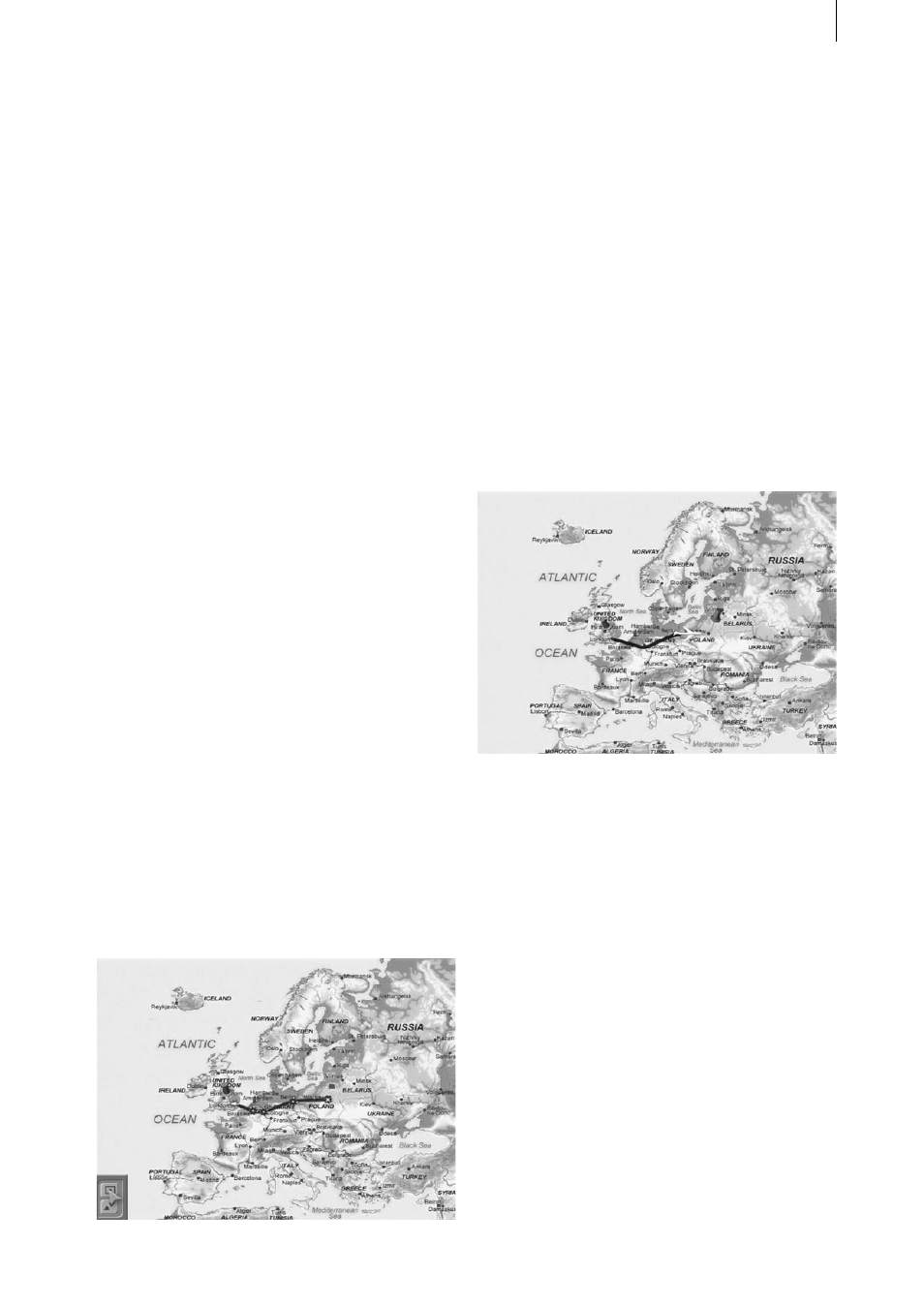
location on your map (e.g. London), you should
nevertheless have the pin “sticking” in the city
itself. You can change the position of the pin in
such a way that it is „pinned“ precisely in the
town. To do so, set the “Position“ to “Local“ and
adjust the values for “Position X” and “Position
Y”.
Next set the “Look” to “View”, and then set the
“View” setting itself to “Local” – this then al-
lows you to rotate the pin about its point on the
route in order to either uncover covered parts of
the map or to simply improve the overall look.
To do so, simply change the values for the X, Y
and Z angles and see how the display changes.
You can now make changes to the finishing
point in a similar way to the previous settings
changes you just made.
You cannot change the appearances of way-
points since they are not visible in the final video
anyway – if you do want to make them appear
and make changes to them, you first have to
turn them into key points.
In addition, you can add a head object (see ex-
ample 5.1).
After also saving this exercise in the “Archives”,
you can let the route be calculated.
The setting for the “Split at key points” control
in the “Special” menu is also irrelevant in this
example, since you have not set any key points
other than the starting and finishing points.
#