Maps, Map overview – OpenEye RADIUS v.4.05 User Manual
Page 36
Advertising
36
29677AC
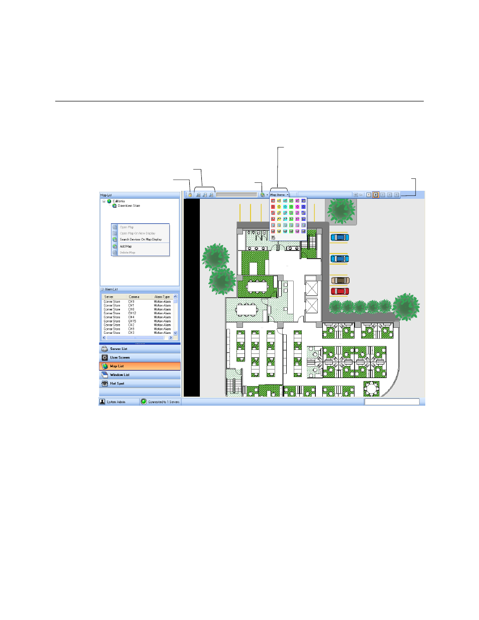
MAPS
MAP OVERVIEW
The Radius software is capable of importing maps and associating cameras and sensors to locations on
the map, as well as linking maps together. This feature allows user to quickly identify alarm zones and
view the related video.
Search Devices on Map Display
Search for specific devices/icons on the map.
Map Level
Displays the level of the open map. Click available levels to quickly switch maps.
Camera icon
Sensor icon
Map Link icon
Relay icon
Server icon
Dome Camera icon
Zoom controls
Clear icons
Lock / unlock map
Map level
Advertising