Sony AG-R2 Attachment Grip User Manual
Page 87
Note
Note that an internet connection is required to sync geofence zone information between the “Airpeak Base” App and the “Airpeak
Flight” App.
Related Topic
Setting the flight area for a project
Setting a flight path (mission)
5-027-737-11(1) Copyright 2021 Sony Group Corporation
(Back)
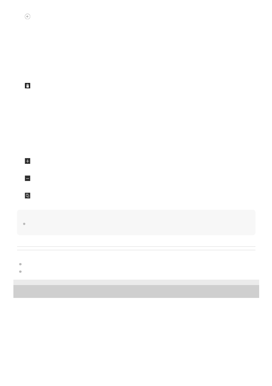
1.
Geofence name
Click to edit.
2.
Map
3.
[Save]
Click to save the geofence.
4.
Geofence
5.
(Delete point)
Click to delete the selected point.
6.
[Add flight area]
Select [Circle] or [Polygon] and click on the map to place a geofence. The inside of the circle or polygon area is
defined as a geofence zone.
7.
[Radius]
Adjust the radius of the circle. This item does not appear when [Polygon] is selected.
8.
[Altitude]
Adjust the maximum altitude. The aircraft will fly without exceeding this altitude.
9.
(Zoom in map)
Click to zoom in on the map.
10.
(Zoom out map)
Click to zoom out on the map.
11.
(Select map layers)
Click to select information to overlay on the map.
12.
87