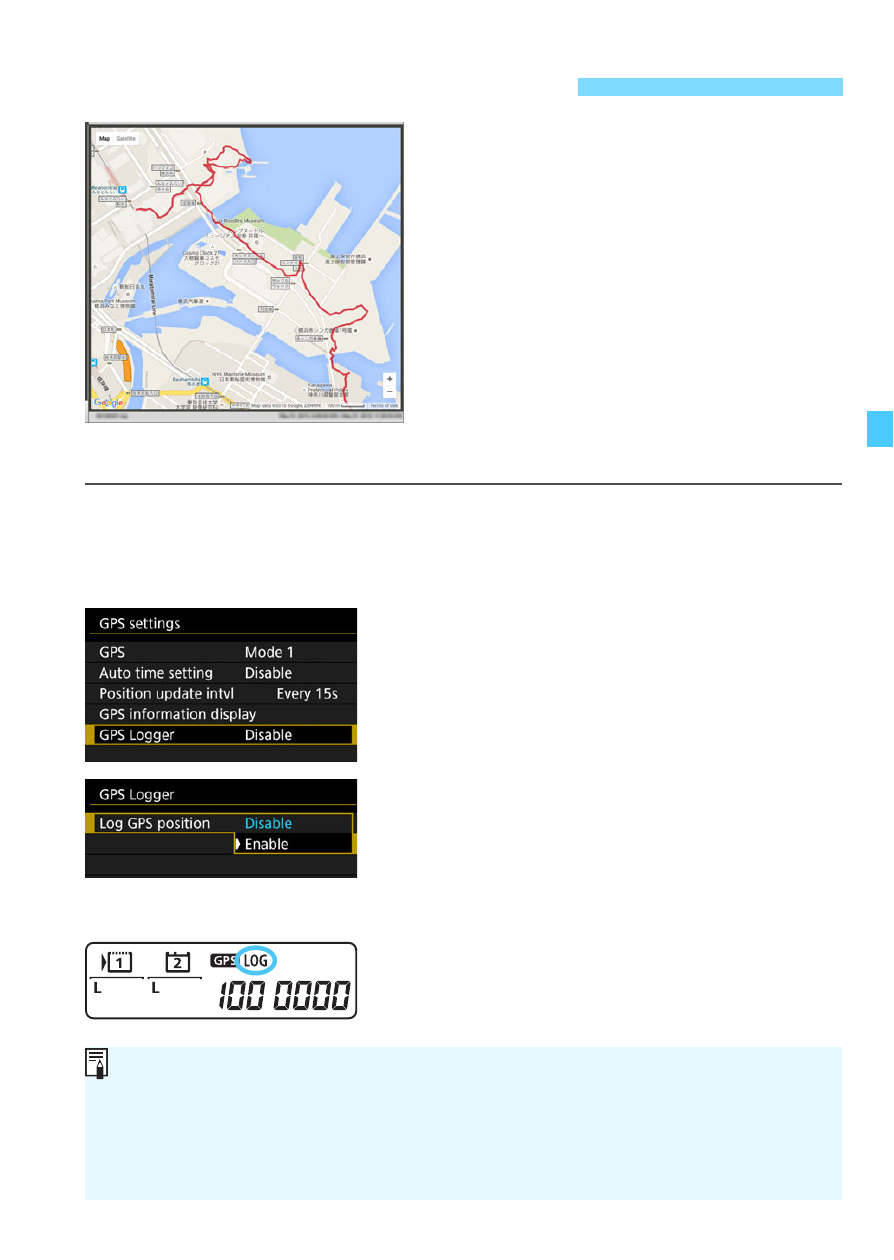
Logging the route traveled – Canon EOS-1D X Mark II DSLR Camera (Body Only) User Manual
Page 223
223
When using the GPS logging function,
the geotag information of the route the
camera travels is automatically
recorded in the camera’s internal
memory.
With Map Utility (EOS software, p.552),
you can view the shooting locations
and the route traveled on a map
displayed on a computer.
1
Check the [GPS] setting.
Check that [
GPS
] is set to [
Mode 1
]
or [
Mode 2
].
2
Select [GPS Logger].
3
Set [Log GPS position] to
[Enable].
Select [
Log GPS position
], then
press <
0
>.
Select [
Enable
], then press <
0
>.
X
[
x
] will be displayed on the rear
LCD panel.
Logging the Route Traveled
Map data ©2015 ZENRIN
With [
GPS
] set to [
Mode 1
], the GPS logging function will continue to
work even while the power switch is set to <
2
>.
When [
Mode 2
] is set, setting the power switch to <
2
> will also turn
off the GPS logging function. However, the GPS logging function will
continue to work during auto power off.