Drawing the map areas – GAI-Tronics Sonic Alarm Sonic Alarm System Software Programming and User Manual User Manual
Page 31
Pub. 42004-410A
Sonic Alarm™ System Programming and User Manual
Page: 28 of 98
f:\standard ioms - current release\42004 instr. manuals\42004-410a.doc
03/09
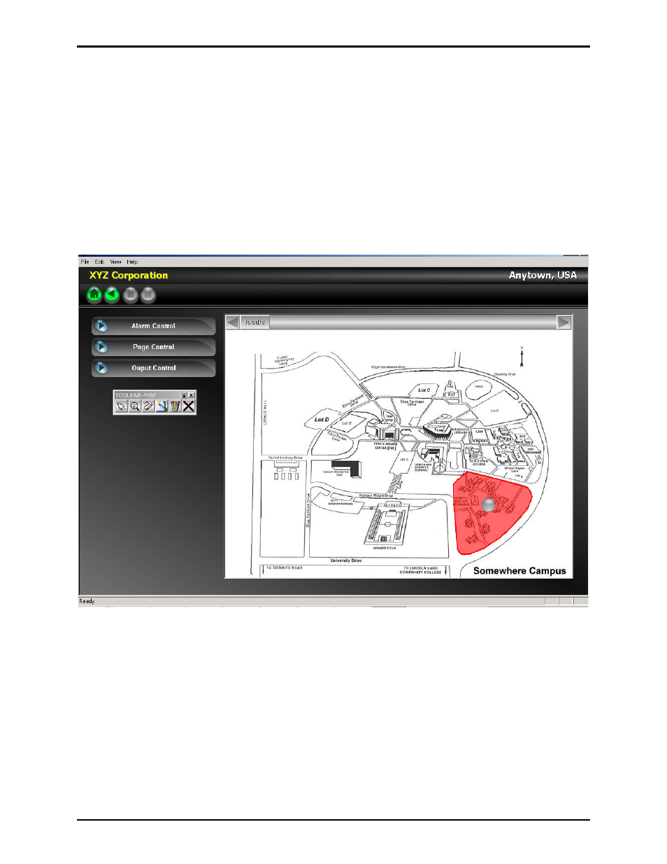
Drawing the Map Areas
After importing the picture, geographical areas must be drawn on the map. These geographical areas
should correlate to the “destinations” that were defined earlier in the system configuration process. A
destination might include a specific building or an entire area of the faculty. The area is generally
determined by the sound coverage of the public address system associated with the RTU or group of
RTUs included in the destination.
To draw on the map, select the “Draw Area” icon on the tool bar. Anchor a starting point on the map by
LEFT clicking the mouse. Move the mouse to the next point and LEFT click again. A line will be drawn
between the two anchor points. Continue the process by moving the mouse and LEFT clicking each
anchor point required. Outline the entire area required then RIGHT click the mouse to indicate you are
done. The area on the map will turn red. See the example below: