Additional survce options, Localization, Figure 92: equip menu – localization – NavCom SF-2040 Rev.C User Manual
Page 130
LAND-PAK™ User Guide – Rev. C
5-126
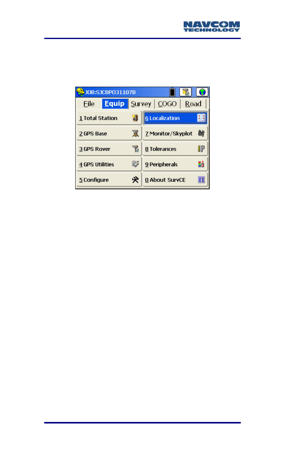
Additional SurvCE Options
Localization
Figure 92: Equip Menu – Localization
l coordinate system is the in
If a loca
tended basis for
the s v
field. Th
relation
the
local co
tes
will be available for view or staking.
Select E
trans r
Figure 93).
i
rred to here as an RTK
S
f
s
eld survey progresses, points
with known grid coordinate positions may be
ur ey, locate and store the local points in the
en use Localization to compute the
ship between the GPS coordinates and
ordinates. Thereafter, the local coordina
quip > Localization to apply a best fit
mation using a localization. The localization
submenu has two options (see
fo
Localization in the context of SurvCE
s a method to relate the coordinates
of a survey that are based initially on a
Starfire position or a GPS navigation
solution refe
olution.
The GPS navigation solution may be within 10
eet on WGS84 and the StarFire™ position
may be within 0.3 feet after 30-45 minute
period. As a fi