Introduction, Figure 103: x-port data editors – NavCom SF-2040 Rev.C User Manual
Page 140
LAND-PAK™ User Guide – Rev. C
6-136
Introduction
Carlson SurvCE software, which runs on the Explorer
00+ data collector, creates a number of files to
upport a project in the field. Two primary files are
created for each project:
A coordinate file appended with .crd
A raw data file appended with .rw5
The coordinates, measured or computed are stored in
he job .crd file. The raw data associated with these
oordinates is saved in the .rw5 file which allows for
re-processin
ffect the c
n the offic
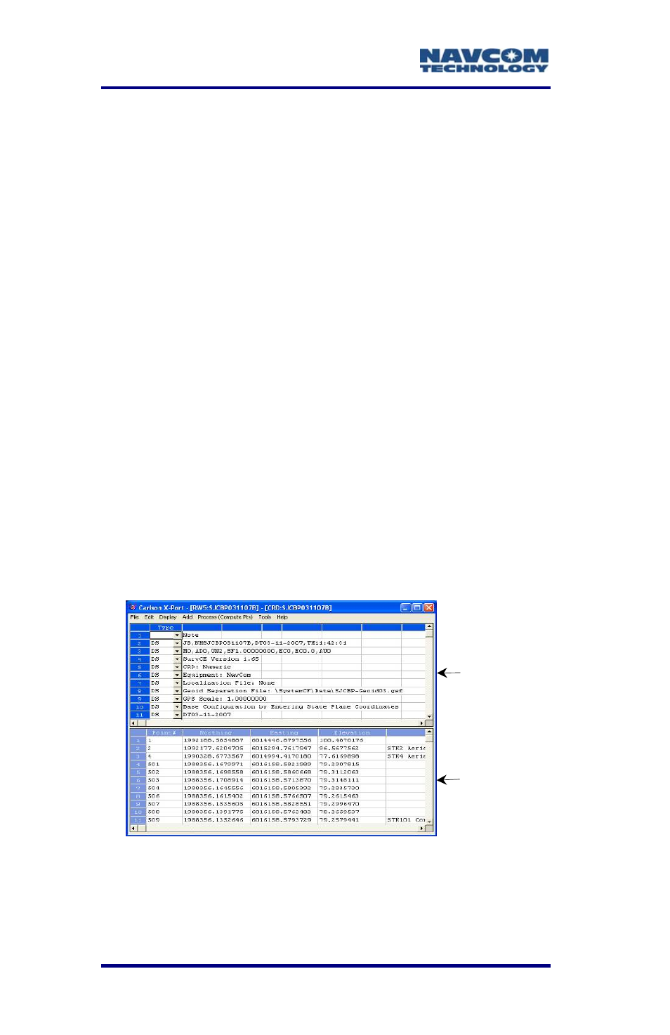
Explorer
The top half
bottom half is the
editors function as spreadsheets. Each row
represents one record of data.
6
s
9
9
t
c
g in the event changes are made that
oordinate values.
e, use X-Port to communicate with the
ates,
of X-Port is the Raw Data Editor. The
Coordinate Data Editor. Both
a
I
600+, transfer files, process coordin
and convert coordinates and raw data formats.
Figure 103: X-Port Data Editors
The lines of data in a .rw5 file are like the records in a
surveyor’s field book. Use X-Port to edit and add to
the .rw5 file and re-process the raw measurements to
Raw Data Editor
Coordinate
Data Editor